Ashland two loop 8.16.23 |

|
Ashland, MS, US


Routenübersicht
Gary Patrick
Gravel
73
km
889
m
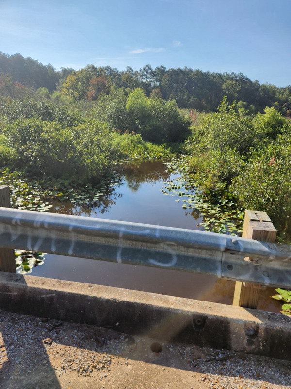
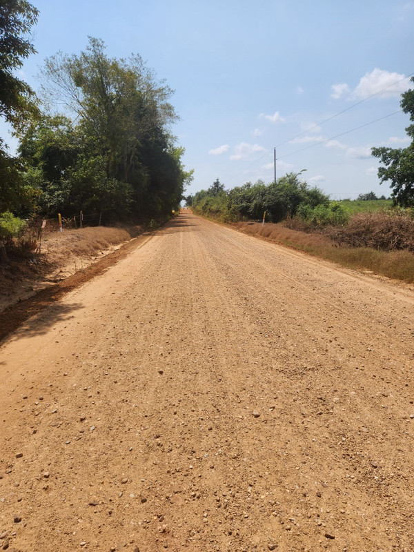
A fairly paved flat start for about 3 miles then onto chunky chip seal, medium limestone gravel to the standard Mississippi sandy, gravel hard pack roads of the Holly Springs National Forest. Today, it was apparent that a lot of grading has been going on as there was loose gravel and blade scrapes everywhere. There was 2900 feet total elevation and 9 miles of pavement out of 45. The town of Ashland, Mississippi, was the start and finish. The route started and ended with pavement sections and moderate elevation for the start for a change.
Routendetails
Interessiert?
Möchten Sie die Route fahren?
Platzieren Sie sie auf Ihrer Wunschliste und wir feiern gemeinsam mit Ihnen.
Zur Wunschliste hinzufügenEinfach einen Link speichern
Indem Sie diese Route Favoriten, finden Sie sie später leichter wieder. ()
Get Inspired, Not Lost. © 2024 Ride with GPS.
Nutzungsbedingungen
Datenschutzrichtlinie