Lost Sierra Bikepacking Route |
|


Route-overzicht
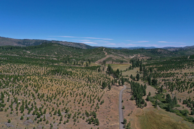
Long Rides in Remote Places
A 250 mile Bikepacking loop that starts and ends in Truckee CA. The route combines The Tahoe, Sierra and Plumas National Forests and travels to the Northernmost edge of Sierra Nevada and back to the famous town of Truckee just north of Lake Tahoe.
For the optimal experience, the route is best broken up into 5 days at about 60 miles and 6000k of vert per day and can be done on a larger tire gravel bike or hardtail mountain bike.
The best time of year is mid summer to late fall, due to snowpack. Check the weather window, it gets hot in places and can be freezing at night.
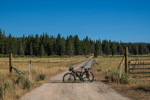
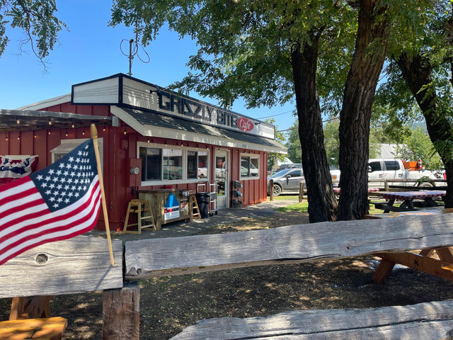
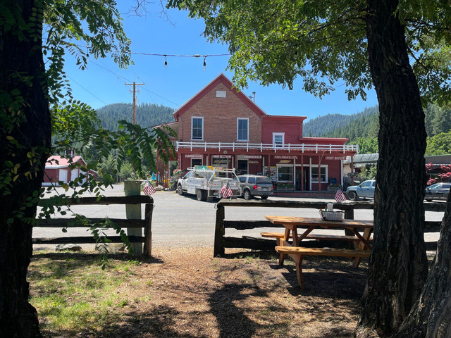
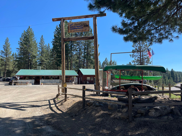
The route is rugged, remote, challenging and awe inspiring but very doable logistically with plenty of camping, resupplies and water along the route.
The route was inspired by the Connected Communities Project. The Connected Communities Project aims to stimulate the economies of rural communities in the Lost Sierra by improving trail access and connectivity and encouraging diverse user types to explore and recreate on public lands by linking 15 mountain towns by trails. Learn More at https://sierratrails.org/connected-communities/
Routedetails
Geïnteresseerd?
Wilt u deze rit maken?
Voeg toe aan uw bucketlist en we zullen uw helpen het te vieren.
Toevoegen aan bucketlistGewoon een link opslaan
Terugkeren bij deze route is gemakkelijk met vastzetten. ()
Delen en promoten
Matt McCourtney zou het fijn vinden als u deze route bekend maakt bij een breder publiek.